Florida's natural beauty is one of its most valuable assets, attracting millions of visitors and supporting diverse ecosystems. To preserve this precious resource, effective environmental management is crucial. Geographic Information Services (GIS) have emerged as a powerful tool in this endeavor, providing comprehensive data and insights to monitor and manage environmental resources. In this blog, we explore how GIS is used to protect Florida's environment and why AOI Solutions is the ideal partner for your GIS needs.
The Role of GIS in Environmental Management
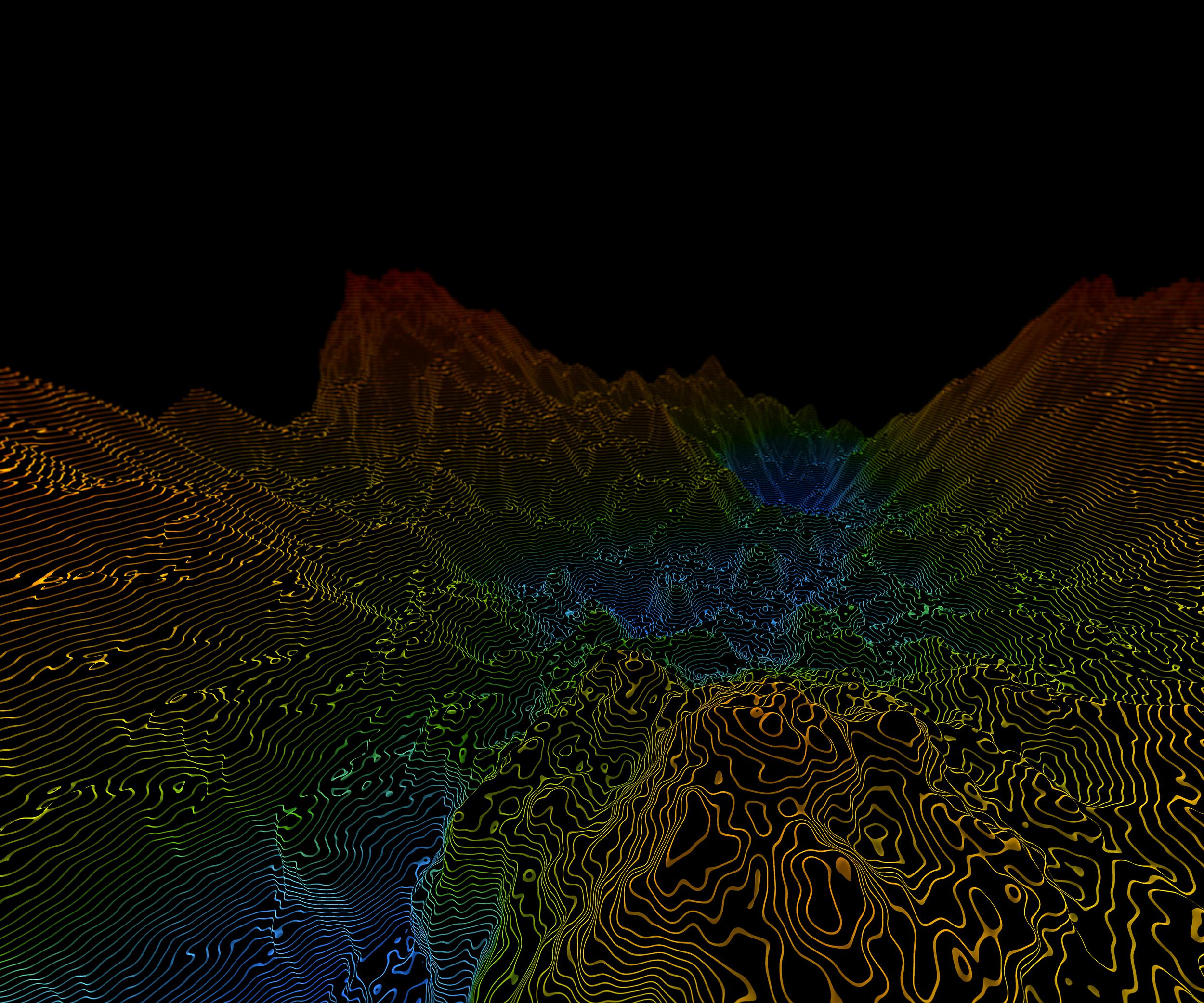
Geographic Information Services (GIS) integrate various data sources to create detailed, interactive maps and models of the environment. This technology allows for the visualization, analysis, and interpretation of spatial data, making it an indispensable tool for environmental management.
In Florida, GIS is used to:
- Monitor Environmental Changes: GIS helps track changes in land use, vegetation, water bodies, and wildlife habitats. This information is critical for understanding the impact of human activities and natural phenomena on the environment.
- Assess Environmental Impact: By analyzing spatial data, GIS can evaluate the potential environmental impact of proposed development projects. This helps in making informed decisions that balance economic growth with environmental preservation.
- Plan Conservation Efforts: GIS enables the identification of critical habitats and areas in need of protection. It supports the planning and implementation of conservation strategies to preserve Florida's biodiversity.
- Manage Natural Resources: GIS provides detailed insights into the distribution and condition of natural resources such as forests, wetlands, and coastal areas. This information is essential for sustainable resource management.
Applications of GIS in Florida
Wetland Preservation: Florida's wetlands are vital ecosystems that support diverse wildlife and act as natural water filters. GIS helps in mapping and monitoring these areas, ensuring they are protected from development and pollution.
Coastal Management: Florida's coastline is prone to erosion, storms, and sea-level rise. GIS is used to model coastal processes, assess risks, and develop strategies for coastal protection and resilience.
Wildlife Conservation: GIS aids in tracking wildlife movements and habitats, supporting efforts to protect endangered species and maintain ecological balance.
Water Quality Monitoring: GIS integrates data from various sources to monitor water quality in rivers, lakes, and groundwater. This information is crucial for addressing pollution and maintaining safe water supplies.
The AOI Solutions Advantage
At AOI Solutions, we specialize in providing state-of-the-art GIS services tailored to the unique environmental challenges of Florida. Our team of experts uses the latest geospatial technology to deliver precise and actionable data for environmental management.
Here’s how we can support your environmental projects:
- Advanced Technology: We use cutting-edge GIS software and hardware to provide high-resolution maps and models.
- Expert Analysis: Our team of GIS specialists offers detailed analysis and interpretation of spatial data to support informed decision-making.
- Customized Solutions: We tailor our GIS services to meet the specific needs of each project, ensuring optimal outcomes.
- Sustainable Practices: We are committed to promoting sustainable development and environmental preservation through our services.
Protecting Florida's environment requires innovative solutions and precise data. Trust AOI Solutions to provide the expertise and technology you need for effective environmental management. Contact us today to learn more about our GIS services and how we can help you achieve your conservation goals.