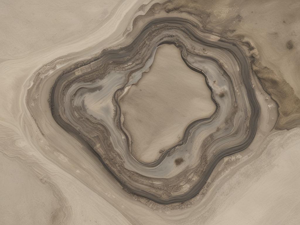
Aerial mapping has emerged as a transformative tool in landfill site management, revolutionizing how facilities monitor and optimize operations. By leveraging advanced drone technology and high-resolution imagery, landfill operators can gain real-time insights into their sites. This innovative approach enables them to track landfill capacity accurately, ensuring efficient space utilization while minimizing environmental impact. Further, aerial mapping provides a comprehensive view of the landfill landscape, allowing for proactive management strategies that enhance operational efficiency.
This blog post will discuss the benefits of aerial mapping for landfill site management.
Aerial mapping revolutionizes the way landfill operators monitor site capacity. By utilizing high-resolution aerial imagery and advanced analytics, landfill managers can accurately assess the volume of waste deposited over time. This precise mapping technique enables operators to identify open space, track compaction levels, and forecast future capacity. Regular aerial surveys provide critical data that assists in planning and optimizing landfill operations, ensuring efficient use of available space while minimizing environmental impact.
Further, aerial mapping facilitates real-time monitoring and reporting, empowering managers to make informed decisions quickly. Instead of relying solely on ground-level inspections, which may miss crucial details, aerial mapping offers a comprehensive view of the landfill site. This allows for timely interventions, such as adjusting waste placement strategies to maximize capacity and extend the landfill's lifespan.
Aerial mapping technology is crucial in enhancing safety and compliance at landfill sites. By providing high-resolution imagery and real-time data, these tools enable operators to conduct thorough inspections of landfill operations from above. This aerial perspective allows for quick identification of potential hazards, such as unstable slopes or unauthorized access points, which can significantly decrease the risk of accidents. Regular aerial surveys also help monitor adherence to environmental regulations, ensuring landfill operators comply with local, state, and federal guidelines.
Additionally, aerial mapping facilitates more effective waste tracking and management practices. By visualizing the entire landfill layout, managers can quickly assess areas that require immediate attention, such as overflowing waste zones or improperly segregated materials. This level of oversight enhances operational efficiency and promotes a proactive approach to safety through improved decision-making. By leveraging aerial mapping technologies, landfill operators can foster a safer work environment, reduce liability risks, and build trust with regulatory bodies and the communities they serve.
Aerial mapping provides landfill managers with critical insights that enhance their waste management strategies. By capturing detailed aerial imagery of landfill sites, operators can analyze spatial data to identify areas that require immediate attention, such as overfilled sections or potential waste overflow zones. This real-time information enables managers to devise targeted waste placement and redistribution strategies, ultimately leading to improved operational efficiency. With aerial maps, stakeholders can visualize the entire landfill site, allowing for better decision-making regarding resource allocation and waste processing operations.
Moreover, aerial mapping technology facilitates better tracking of waste types and volumes over time, essential for effective waste management. Managers can utilize this data to implement tailored disposal methods based on the waste's characteristics. For instance, if the mapping reveals a higher concentration of organic waste in a specific area, operators can adjust their strategies to enhance decomposition processes or divert the organic waste to specialized facilities. Consequently, integrating aerial mapping into landfill management leads to more proactive approaches to handling waste, ensuring compliance with environmental regulations while maximizing the lifespan of landfill sites.
Aerial view maps aren’t just tools—they offer a whole new level of understanding and protection of the environment. If your organization is ready to leverage aerial mapping, AOI Solutions is here to help.
Contact us today to learn how our aerial mapping solutions can help with landfill site management!