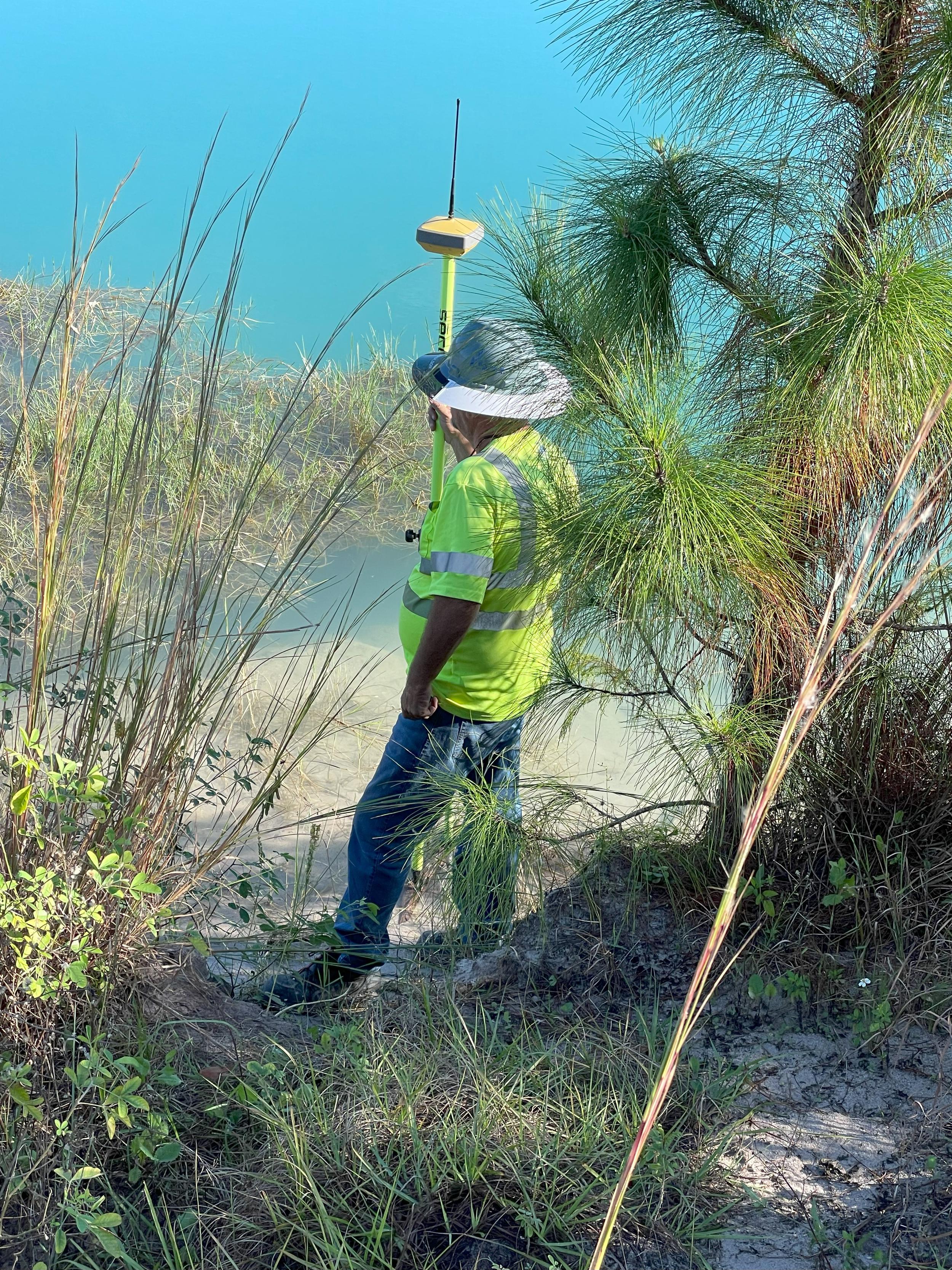
Surveying has always been an essential part of the construction industry, providing the precise measurements needed to plan, execute, and complete projects. However, as technology advances, so too do the methods and tools at our disposal. This article will explore the latest advancements in surveying techniques that are transforming construction projects in Florida. Whether you're a seasoned contractor or a burgeoning construction manager, staying abreast of these innovations can give you a significant edge in this competitive field.
Surveying is the backbone of construction projects, ensuring that buildings are erected on solid ground and in the right place. Accurate surveys minimize costly mistakes and ensure projects stay on schedule. Let's explore why surveying is crucial.
Surveying provides the exact measurements needed for construction, from laying the foundation to placing the final beam. Without precise data, even small errors can lead to significant structural issues down the line. The latest advancements in surveying aim to improve this accuracy and precision, reducing the margin of error even further.
Accurate surveys help project managers make informed decisions, allocate resources efficiently, and adhere to timelines. With the new techniques in surveying, project managers can now access real-time data, allowing them to make adjustments on the fly and keep the project moving forward smoothly.
Safety is paramount in construction. Advanced surveying techniques can identify potential hazards before they become a problem, ensuring that safety measures are implemented proactively. This not only protects workers but also minimizes project delays caused by unforeseen issues.
One of the most significant advancements in surveying is the use of laser scanning technology. This innovative method has revolutionized how we capture and process data on construction sites.
Laser scanners can capture millions of data points in a matter of minutes, creating detailed 3D models of the construction site. This high-resolution data allows for more precise measurements and better planning, reducing the risk of errors.
With detailed 3D models, architects and engineers can visualize the project more accurately, making it easier to identify potential issues and make necessary adjustments. This streamlined design process can save time and money, ensuring projects stay on track.
Laser scanning technology facilitates better collaboration among team members. The detailed 3D models can be shared easily, allowing everyone involved to have a clear understanding of the project's progress and any potential challenges.
Unmanned Aerial Vehicles, or drones, have become an indispensable tool in modern surveying. These versatile devices offer numerous benefits for construction professionals.
Drones can cover large areas quickly, capturing high-resolution images and videos. This rapid data collection allows for more frequent surveys, ensuring that project managers always have up-to-date information.
One of the significant advantages of drones is their ability to access areas that are difficult or dangerous for humans to reach. This capability is particularly useful in large construction sites or projects with challenging terrain.
With drones, project managers can monitor the construction site in real-time, identifying potential issues and addressing them promptly. This enhanced site monitoring can improve efficiency and reduce the risk of costly delays.
Geographic Information Systems (GIS) are another powerful tool in modern surveying. These systems capture, store, and analyze spatial and geographic data, providing valuable insights for construction professionals.
GIS allows for detailed mapping and analysis of construction sites, providing valuable information about the terrain, soil conditions, and other factors that can impact the project. This information can help project managers make more informed decisions and plan more effectively.
With GIS, construction professionals can analyze the environmental impact of their projects, identifying potential issues and finding solutions to mitigate them. This proactive approach can enhance sustainability and reduce the risk of regulatory issues.
GIS can also improve resource management, helping project managers allocate resources more efficiently and reduce waste. This can save time and money, ensuring projects stay within budget and on schedule.
Advancements in surveying techniques are transforming construction projects in Florida, providing new benefits for construction professionals. From laser scanning technology to unmanned aerial vehicles, these innovations are improving accuracy, efficiency, and collaboration. By staying abreast of these advancements, construction professionals can ensure their projects are successful and stay ahead of the competition.
If you're interested in learning more about how these advancements can benefit your construction projects, get in touch with us to schedule a consultation with our team of experts. AOI Solutions, Inc. can help you implement these innovative techniques and ensure your projects are a success.