How Remote Sensing Technology Impacts Geospatial Mapping
July 11, 2024at4:00 AM
Innovations in remote sensing technology have significantly transformed geospatial mapping, offering a myriad of benefits that range from enhanced accuracy and efficiency to increased data collection capabilities. The fusion of this technology and geospatial mapping has revolutionized the way we perceive, analyze, and understand our world. In this article, we will delve into some of the latest innovations in this technology and explore how they are reshaping the field of geospatial mapping.
Latest Innovations in Remote Sensing Technology.
Hyperspectral Imaging.
One of the most groundbreaking advancements is hyperspectral imaging, which enables the capture of a vast amount of detailed spectral information across the electromagnetic spectrum. This technology is instrumental in identifying and classifying different materials based on their unique spectral signatures, allowing for more accurate and precise mapping of features on the Earth's surface.
LiDAR Technology.
Light Detection and Ranging (LiDAR) technology is another game-changer, providing high-resolution elevation data that can be used to create detailed 3D maps of terrain and landscapes. LiDAR has revolutionized geospatial mapping by enhancing the understanding of topographic features, urban environments, and vegetation structures with unparalleled accuracy.
Synthetic Aperture Radar (SAR).
Synthetic Aperture Radar (SAR) is a radar technology that uses microwave signals to penetrate through clouds, vegetation, and other obstructions to capture detailed images of the Earth's surface. SAR has proven to be a valuable tool for monitoring environmental changes, detecting natural disasters, and mapping coastal areas with precision.
Unmanned Aerial Vehicles (UAVs).
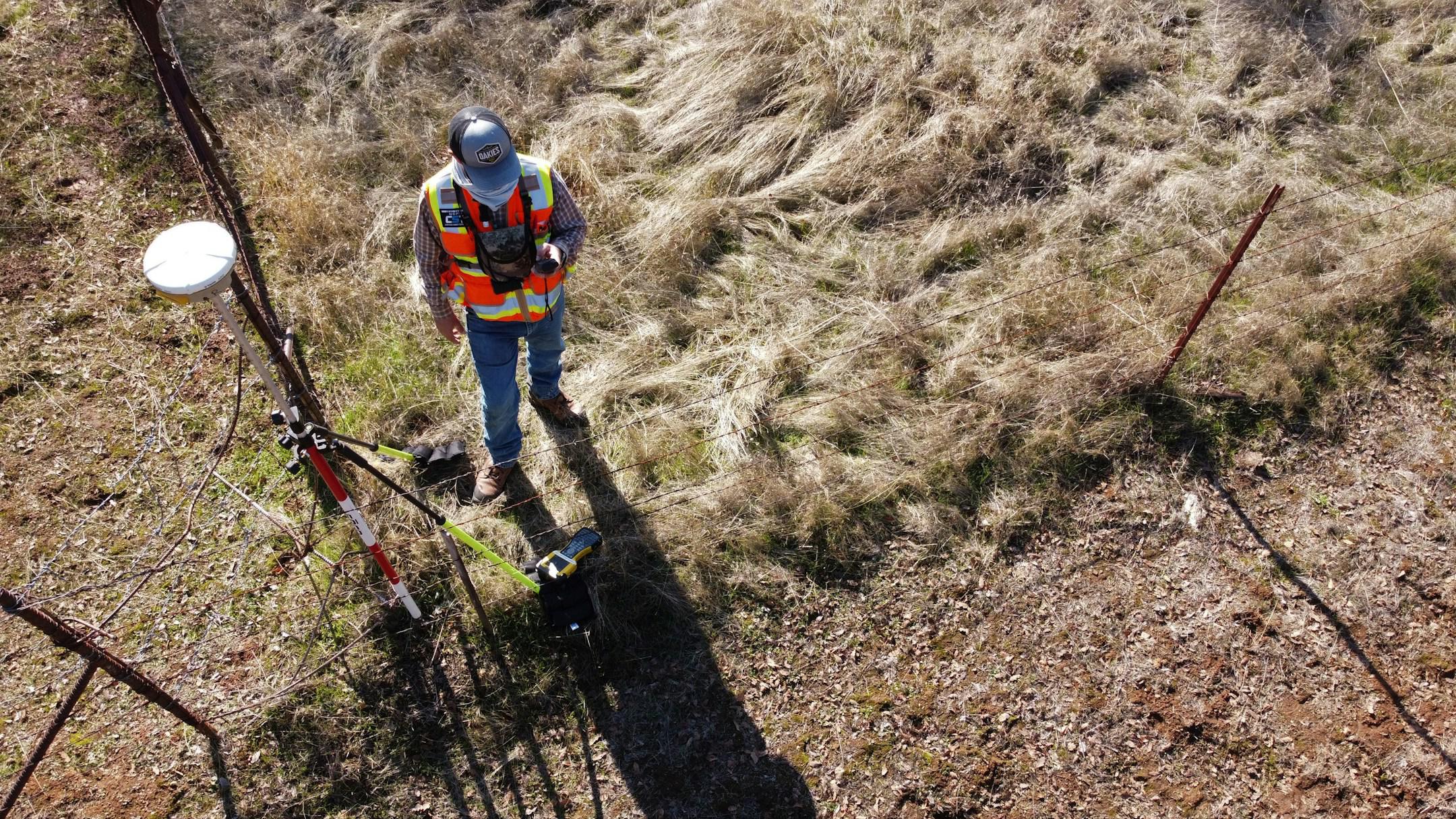
The advent of Unmanned Aerial Vehicles (UAVs), or drones, has democratized digital sensing by providing a cost-effective and agile way to collect high-resolution aerial imagery. UAVs are increasingly being used for various geospatial applications, including land surveying, infrastructure inspection, and disaster response, offering unprecedented flexibility and accessibility in data acquisition.
Impacts of Remote Sensing Innovations on Geospatial Mapping.
Enhanced Spatial Resolution.
The latest sensing technologies have significantly improved spatial resolution, allowing for the capture of finer details and features on the Earth's surface. This enhanced resolution is vital for creating precise and accurate geospatial maps that provide valuable insights for urban planning, environmental monitoring, and natural resource management.
Increased Data Acquisition Speed.
The speed at which data can be collected through remote sensing has been revolutionized by innovations such as UAVs and hyperspectral sensors. This increased data acquisition speed enables rapid response to dynamic environmental changes, such as monitoring wildfires, tracking deforestation, and assessing the impact of natural disasters in near real-time.
Multi-sensor Integration.
Integration of multiple sensors, such as LiDAR, hyperspectral imaging, and SAR, allows for the fusion of complementary data sources to create holistic and comprehensive geospatial maps. By combining data from different sensors, researchers and analysts can gain a more in-depth understanding of complex environmental processes and phenomena, leading to more informed decision-making.
Improved Accuracy and Precision.
The advanced algorithms and processing techniques used in conjunction with remote sensing data have greatly enhanced the accuracy and precision of geospatial mapping. With the ability to correct for distortions and uncertainties in the data, researchers can create maps with high levels of detail and reliability, supporting a wide range of applications from infrastructure planning to habitat conservation.
Stay on Top of the Latest Innovations!
By partnering with the experts at Area of Interest Solutions, Inc., you can always ensure you’re using the latest technology to deliver the best results. We blend pioneering technology with deep industry expertise to deliver exceptional land surveying, mapping, and geospatial services across Florida. Our commitment to accuracy and innovation lays the foundation for projects that shape the future and ensure you always get the most accurate results you need to deliver.
You can learn more about our services online, or contact us to schedule a consultation today.
Contact us for a free quote
Feel free to give us a call or send us an email with any questions or comments you have.