In the construction industry, safety isn’t merely a checkbox—it’s the lifeblood of every project, from the roaring heart of urban landscapes to the quiet expanses of remote development sites. To rise to this challenge, the industry is increasingly turning to a technological ally that is as transformative as it is precise—Geospatial Mapping Technology.
This sophisticated approach marries the art of spatial data collection with the science of mapping, reshaping the blueprint of how construction projects are visualized, orchestrated, and safeguarded. At AOI Solutions, we are not just riding this wave; we are forging the future of safety in construction across the diverse and demanding terrains of Florida.
On any given day, a construction site is a dynamic landscape, brimming with potential dangers—from treacherous slopes to hidden utility lines. Traditional surveying methods, while valuable, are like static snapshots in a world that is constantly in motion. Geospatial mapping transcends these limitations by providing a continuous stream of real-time data, thus transforming site safety from a reactive process to a proactive one.
Imagine a tool that not only maps out the terrain but also reads its language—detecting where the ground may be prone to shifting, where slopes might give way, or where flood risks loom. Geospatial mapping technology offers this kind of foresight, enabling construction teams to identify and address potential hazards before they ever have a chance to materialize. This preemptive approach allows for tailored safety strategies that don’t just react to danger but anticipate and mitigate it.
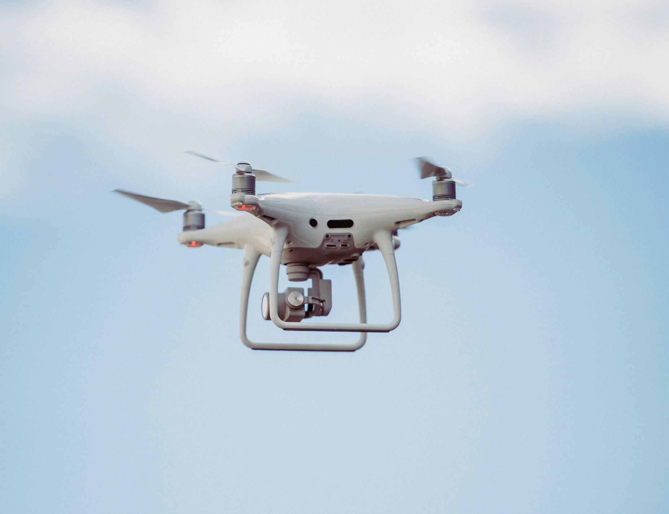
Drones outfitted with high-resolution cameras and LiDAR sensors act as vigilant sentinels, capturing a continuous flow of data from above. They don’t merely observe; they relay real-time updates that can reveal subtle shifts in earth stability, unplanned structural changes, or areas where erosion is taking its toll. For large-scale projects, where conditions can change as quickly as the weather, this ability to see hazards as they emerge—and not after—can mean the difference between a seamless operation and a costly safety incident.
The unseen is often the most dangerous. Digging into the earth without a clear understanding of what lies beneath can have catastrophic consequences. With geospatial mapping, subsurface utilities are no longer guesswork. High-precision mapping uncovers the precise locations of gas lines, electrical cables, and other buried infrastructure, allowing construction crews to carry out excavation work with confidence and safety.
In moments of crisis, seconds matter. Geospatial technology empowers teams with detailed maps that highlight every emergency exit, every equipment storage zone, and every designated safe area. These maps aren’t just for show—they are tools that can be shared with first responders, providing them with a thorough understanding of the site layout, enabling quicker and more efficient emergency responses. Beyond immediate reaction, geospatial data also facilitates the simulation of various emergency scenarios, honing preparedness long before an incident occurs.
With AOI Solutions at the helm, we’re not just keeping up with these advancements—we’re driving them. We see a future where the boundaries of geospatial technology are continually stretched, transforming the unpredictable nature of construction, increasing precision, anticipation, and security. Here, the success of a project isn’t measured solely by its completion but by the unwavering safety and well-being of every person involved.
In the end, geospatial mapping isn’t merely a tool—it’s a paradigm shift that redefines what it means to build responsibly and sustainably. And for the construction industry, that means a future where safety is not just a priority—it’s a promise. Reach out to our team at AOI Solutions today to learn more about geospatial mapping technology.