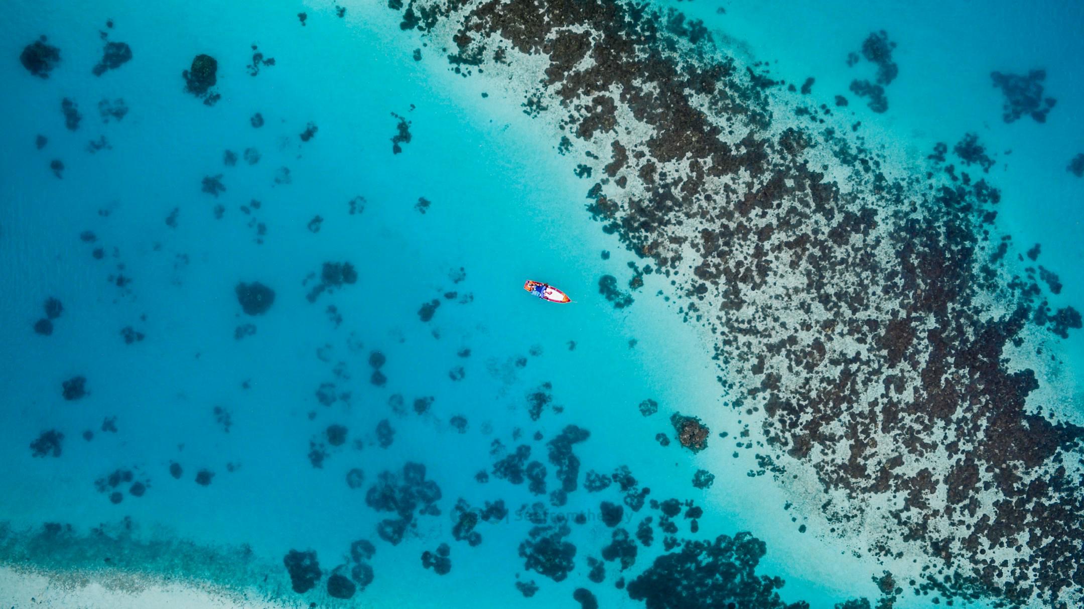
Preserving the world's ecosystems is a monumental challenge, but advancements in technology are making it easier to manage, track, and protect the environment on a large scale. Enter aerial view maps—an indispensable tool for environmental conservation. These maps provide conservationists with a bird’s-eye perspective, helping them better understand the complexities of our ecosystems and make data-driven decisions to safeguard nature.
This article explores how aerial view maps are transforming environmental conservation efforts. From tracking wildlife habitats to monitoring deforestation, we’ll uncover their incredible applications and discuss the exciting future possibilities these tools hold.
Wildlife thrives in diverse ecosystems that are often spread across vast, sometimes inaccessible areas. Aerial view maps provide a comprehensive view of these habitats, allowing conservationists to monitor wildlife populations, migration patterns, and the impacts of human activity.
Deforestation remains a significant threat to global biodiversity, contributing to habitat loss and climate change. Traditional methods of tracking deforestation are time-intensive and often lack comprehensive coverage. Aerial view maps, however, provide conservationists with near real-time data on deforestation hotspots, enabling swift action.
Using high-resolution imagery, aerial maps can highlight changes in forest density over time. Conservation groups, such as the Amazon Conservation Team, rely on aerial technologies like LiDAR (Light Detection and Ranging) to detect illegal logging and identify areas that require reforestation efforts.
With these insights, conservation programs can prioritize the most critical areas for intervention while also educating policymakers about the urgency of protecting natural habitats.
The health of an ecosystem is determined by its biodiversity, vegetation, and water-cycle dynamics. But when assessing massive landscapes, traditional ground surveys can be insufficient. Aerial view maps provide an efficient way to analyze ecosystem health over vast areas, offering conservationists a detailed snapshot of an environment's overall condition.
Coastal ecosystems, particularly coral reefs, benefit greatly from aerial monitoring. Maps can capture highly detailed images of reefs, helping conservationists assess their condition, pinpoint signs of bleaching, and implement restoration strategies. Similarly, wetlands, mangroves, and peatlands can be monitored to ensure their critical role in storing carbon and supporting biodiversity remains intact.
By integrating data from aerial mapping with other technologies, such as satellite imagery and ecological modeling, conservationists are gaining unprecedented insights into how ecosystems evolve.
The incredible utility of aerial view maps in conservation stems from their evolving technology. Over the years, we’ve seen a shift from basic aerial photography to advanced mapping tools powered by drones, LiDAR scans, and machine learning.
These technologies are constantly evolving, allowing for faster, more accurate assessments. Innovations such as predictive modeling and AI-powered analytics are set to further amplify the value of aerial mapping in conservation.
With the accelerating pace of climate change and habitat destruction, the need for advanced conservation solutions is urgent. Aerial view maps are quickly becoming even more sophisticated, paving the way for groundbreaking applications in environmental conservation.
The future holds immense promise, and aerial mapping will undoubtedly remain an essential ally for conservationists aiming to protect the planet’s most vulnerable ecosystems.
Aerial view maps aren’t just tools—they’re a gateway to understanding and protecting the environment on a whole new level. From assessing ecosystem health to tracking wildlife, these tools empower conservationists to act with precision and purpose.
If your organization is ready to leverage aerial mapping for environmental conservation, AOI Solutions is here to help. Based in Florida, we specialize in delivering state-of-the-art mapping services tailored to the needs of conservationists, engineers, urban planners, and more.
Contact us today to learn how our aerial mapping solutions can take your conservation projects to new heights.